Legend
Groups
You can create groups in your legend. Lizmap will use them too in the web interface.
If you want to collapse some groups by default, either use the Theme switcher or a JavaScript snippet, see Adicionar o seu próprio código JavaScript.
You can use the Mutually exclusive group checkbox when clicking on a group to have some radio buttons in Lizmap.
Predefined group names
A few group names are predefined in the legend and Lizmap will not display them as a normal group in the legend :
baselayersproject-background-colorhidden, read below Mascarar camadas individuaisoverview, read below Criar um mapa de enquadramento
Dica
Read the documentation in the tooltip in the plugin, tab.
Theme switcher
Lizmap allows you to display and switch between themes configured in QGIS. To create your themes, follow the QGIS documentation.
In the tab of the plugin, the checkbox Activate first map theme on startup enables the map theme by default when loading the map.
Show feature count
will have the same effect in Lizmap Web Client.
Mascarar camadas individuais
You can exclude layers of your publication with the QGIS Server tab of the QGIS project properties. In this case the layers will not be available in Lizmap at all. With this method, you cannot use a layer in the locate by layer function and not display in the map.
To overcome this lack, Lizmap offers two simple ways to not display some layers only in the legend :
Either create a group in your legend called
hiddenand put your layer into this group. This group (and its layers) won’t be displayed in the Lizmap legend.Or use the check box Hide in legend in for the specific layer.
Este recurso pode ser utilizado para:
ocultar uma camada utilizada na localização por camada (Locate by layer — The locating tool)
ocultar uma camada simples para adicionar dados renderizados através duma view
hide a layer for printing
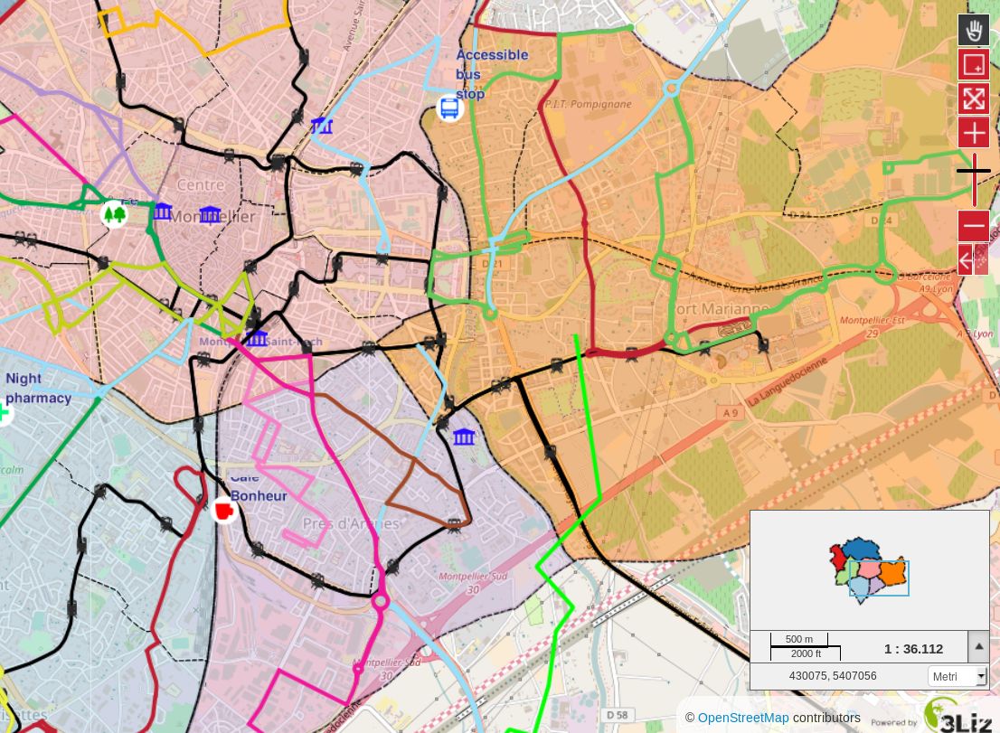
Criar um mapa de enquadramento
Para adicionar um mapa de enquadramento*, ou mapa de localização, a um mapa Lizmap, deve:
Create an independent group in the QGIS project called
overviewAdicionar camadas, por exemplo, uma camada de municípios, uma camada base respeitante ao terreno, etc.
All layers and groups in the overview group will not be shown in the Lizmap’s map legend. They are drawn only
in the overview map.
É aconselhável utilizar:
camadas vetoriais leves e simplificadas (se necessário)
utilize uma simbologia adequada: traços pequenos e etiquetas simples ou ocultas
Nota
The location map will use the extent of the WMS Capabilities, .
In , it’s possible have a fixed scale or not for the overview.
Aqui está um exemplo de utilização: