A simple map
Lizmap offers default web maps with the following features:
pan
zoom on area drawn by the user
zoom more
selecting a zoom level with a scale bar
zoom less
scale display as a scale bar and numerically
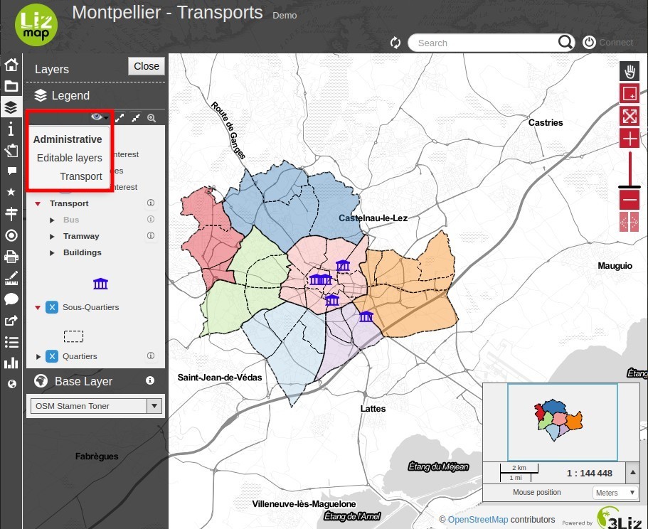
The order and organization of layers in the layers panel management meet those defined in the QGIS by the map publisher.
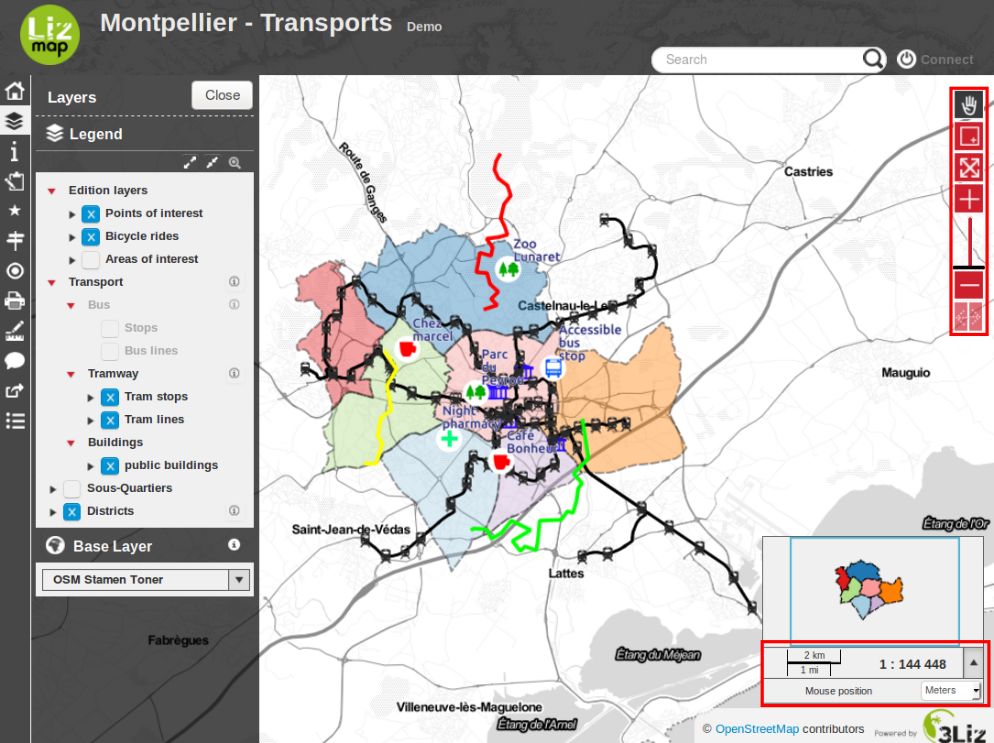
Zooming and paning are available on the right of the map. To zoom on an area, you need to select the zoom by rectangle and drag to draw a rectangle defining the area to reach.
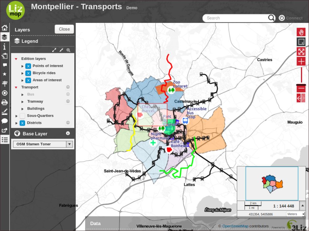
You can using the triangle, left the layers title, bring up the legend of the layer.
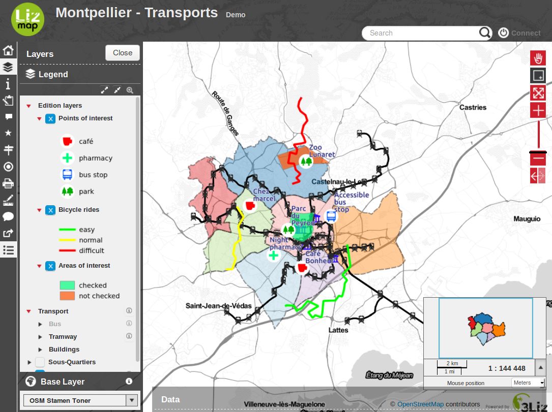
Selection boxes allow you to hide and display the proposed layers.
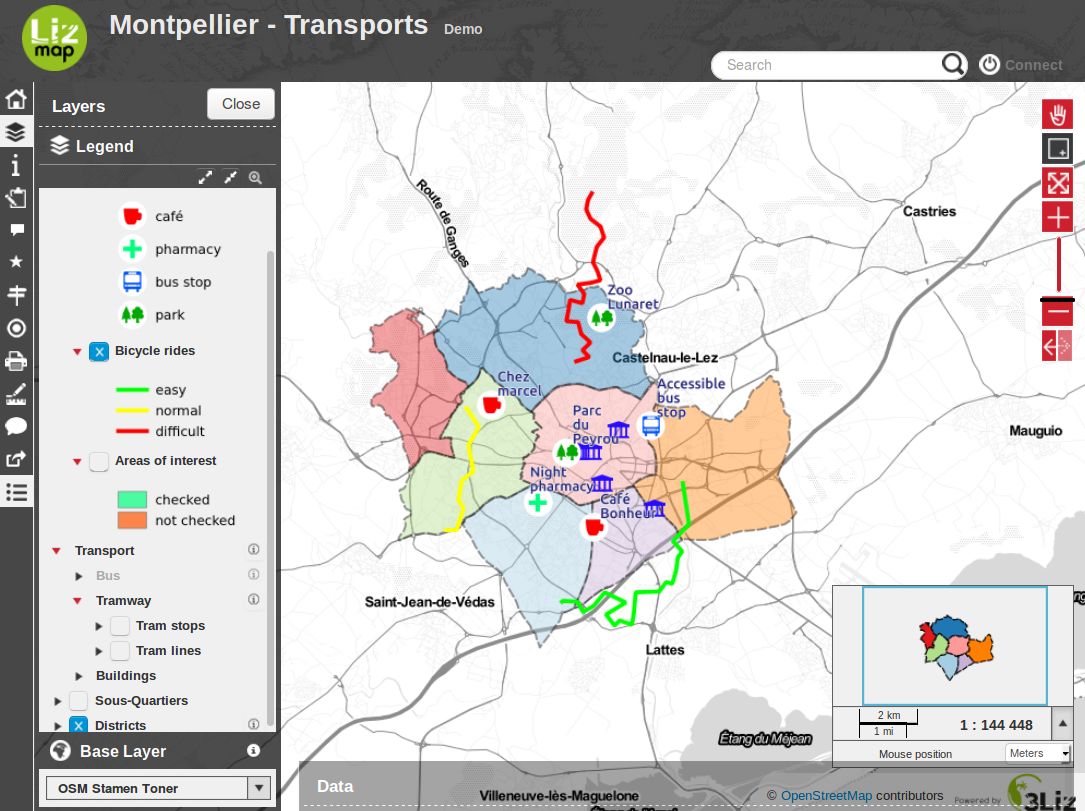
Themes allow you to change layers visibility following a context.
To take full advantage of the map, you can hide the panel management layers.
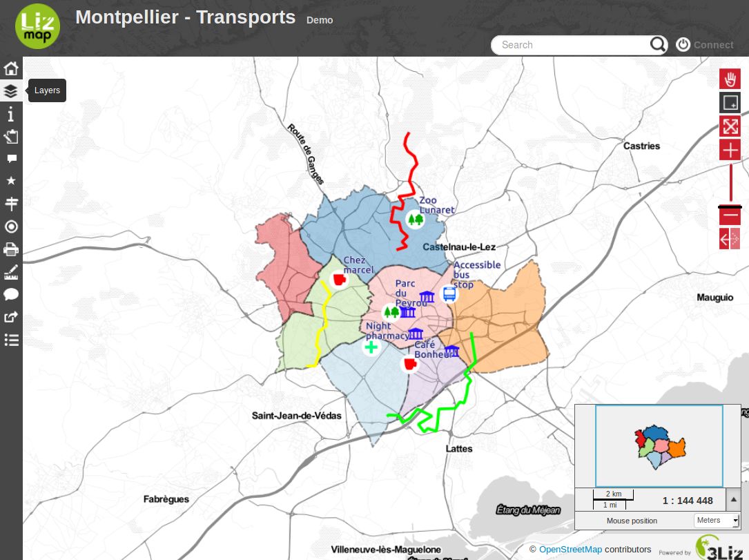
- Finally you can:
go back to the projects page
display the map information sheet